Free and exclusive discount codes for hundreds of tours and & travel services in Iceland
Subscribe to instantly receive discount codes for tours, car rental, camper van rental, and outdoor clothing rental. Thank you! ❤️ Jon Heidar, Editor of Stuck in Iceland Travel MagazineIt was the second day of my hiking adventure at Landmannahellir. On our first day, we ascended Mt. Löðmundur and enjoyed stunning views from its peak. We all woke up early; I suppose nobody slept well in the cramped bunks. After an excellent breakfast of oatmeal, coffee, and bread, we got ready for the hiking mission of the day. Even if it would be a long day, its highlight, Brennisteinsalda at Landmannalaugar, would be right at the start of our journey.
Choosing between different hiking trails
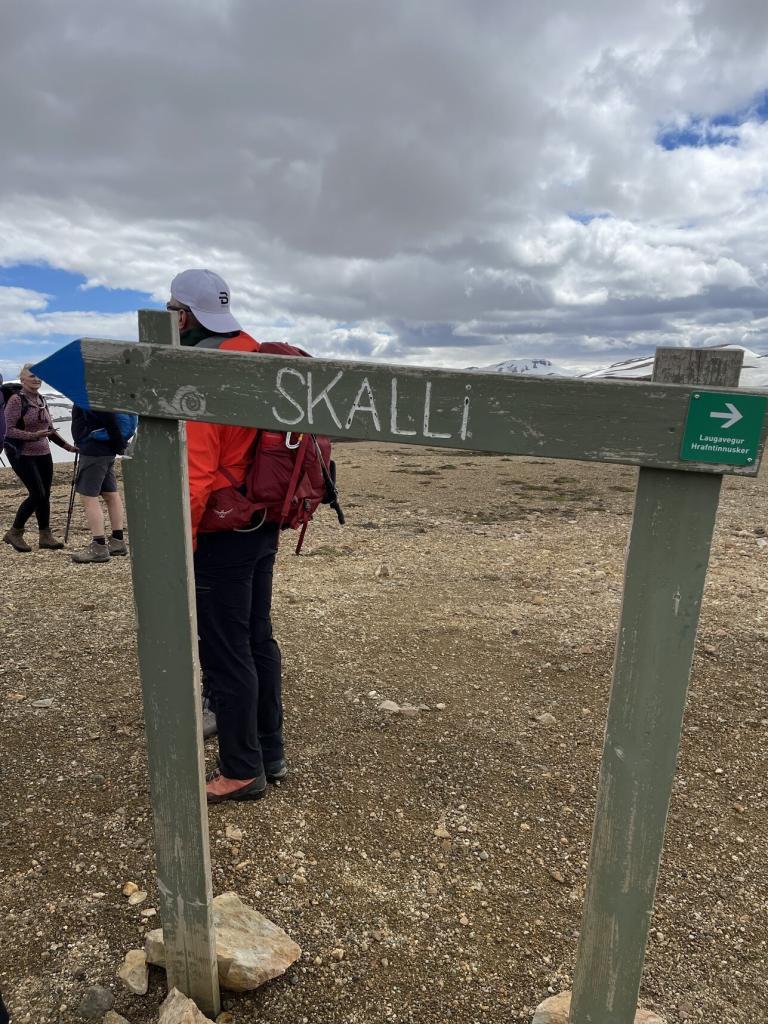
We had to decide whether to hike to Grænihryggur ridge or head up Landmannalaugar and follow a hiking path around Mt. Skalli. The Grænihryggur hike was the original plan. However, roads were closed due to flooding, so our group leader, Gummi, decided to do the Mt. Skalli hike. That was fine by me. I went up to the beautiful Grænihryggur ridge last year. Even if the bank is gorgeous, and I would have been happy to revisit it, I always seek to ‘collect’ new places on my travels.
Introducing the monkey method of photography
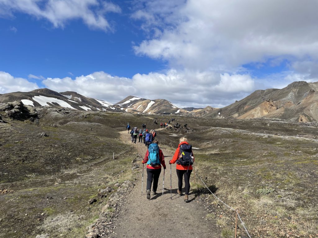
Our bus drove up to Landmannalaugar, and from there, we started our hike. Landmannalaugar is a beautiful place, but I would not like to camp there on its stony ground. We started our walk, and soon, my iPhone camera worked overtime in a picturesque environment.
My method of photography is what I call the monkey method. Just like the proverbial group of monkeys locked away in a room full of typewriters will eventually write a Shakespeare play, I take a whole lot of pictures in the hope that some will be decent.
Coming to Brennisteinsalda
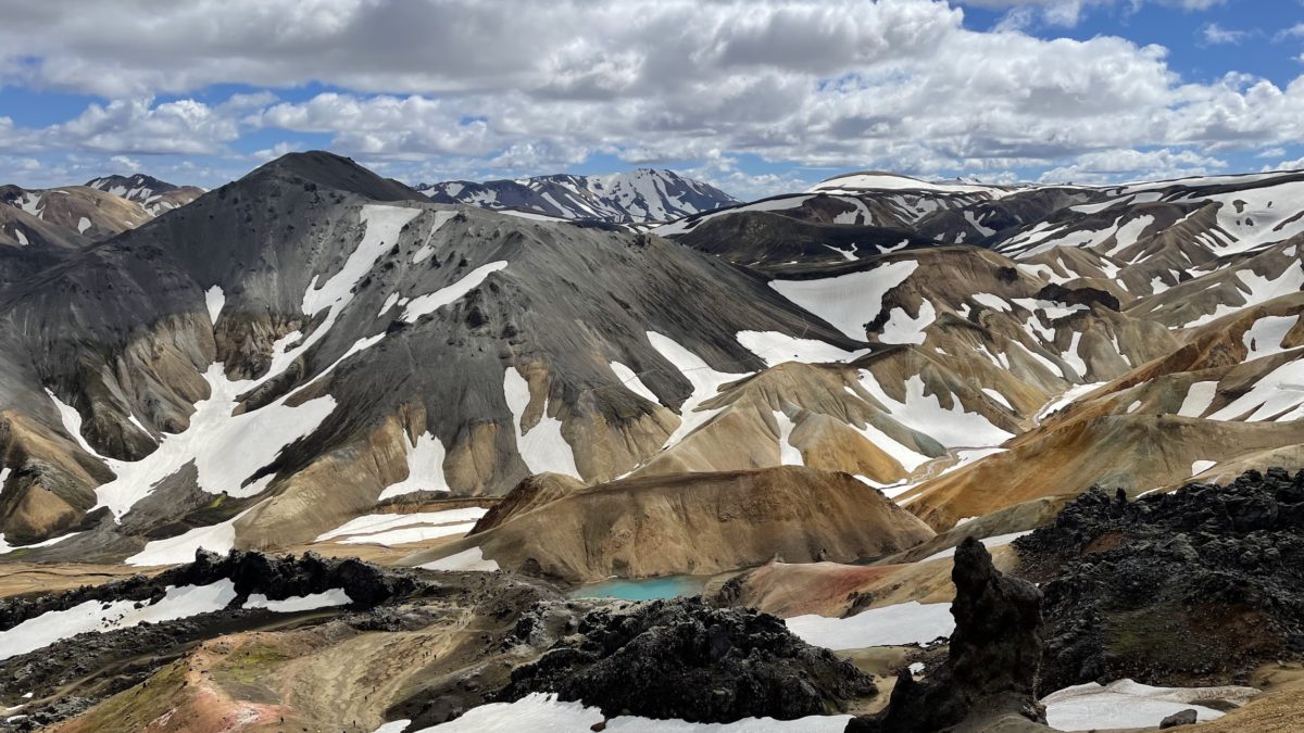
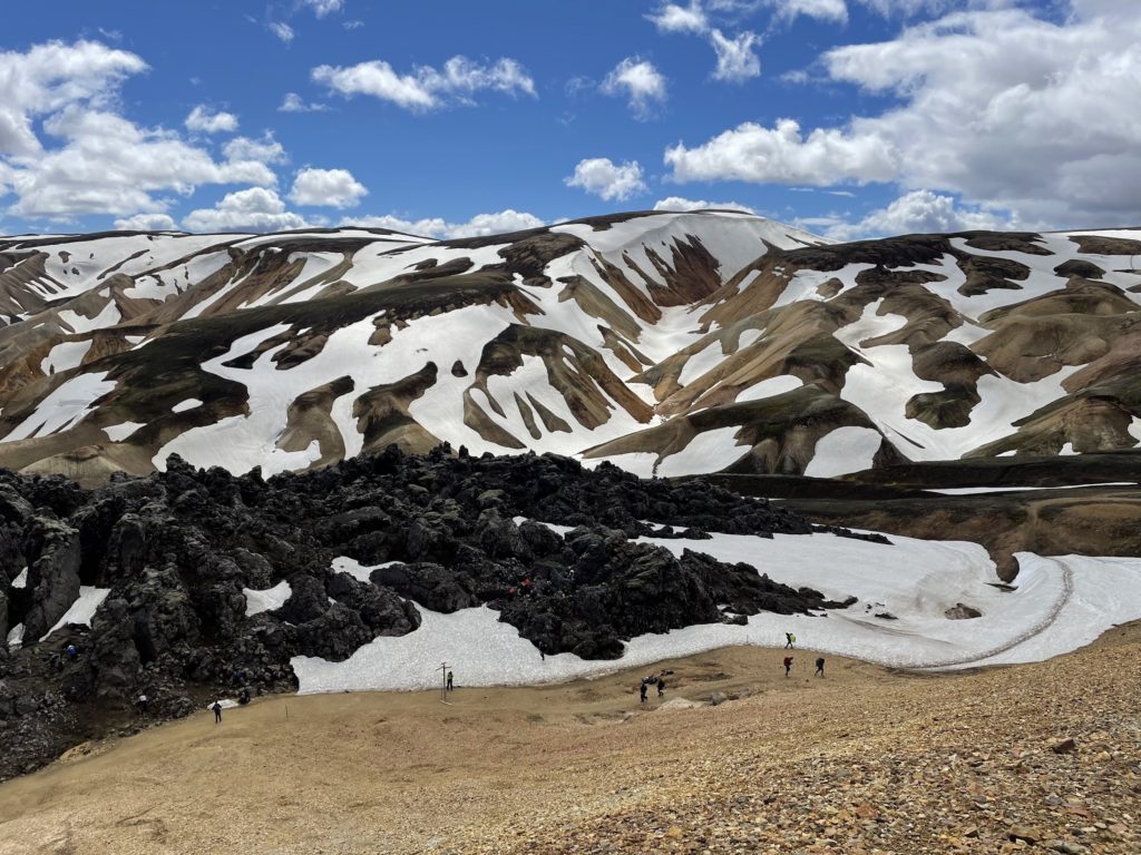
We started on the Laugavegur hiking trail, which takes travelers between Þórsmörk and Landmannalaugar, and had not hiked for long when Gummi stopped for lunch. He had chosen the lunch stop well. We were next to the 855-meter-high (2.805 feet) active volcano of Brennisteinsalda. Brennisteinsalda means sulfur-wave, which is not a misnomer. Brennisteinsalda is colored by sulfur, new black lava, ash moss, and iron.
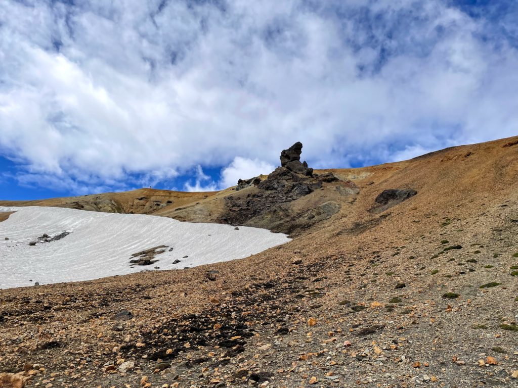
From its side, a stack of lava juts out; from it, a field of relatively new lava spreads out in front of the stack. The stack is the remains of the volcanic tunnel the lava flowed out of. Just like from Mt. Löðmundur, the view from Brennisteinsalda was terrific. On this clear and crisp day, we were treated to a stunning view of Landmannalaugar and the neighboring and impressive Mt. Bláhnhúkur. When I return to Landmannalaugar, I am sure to hike up Bláhnúkur.
The view over Uppgönguhryggur
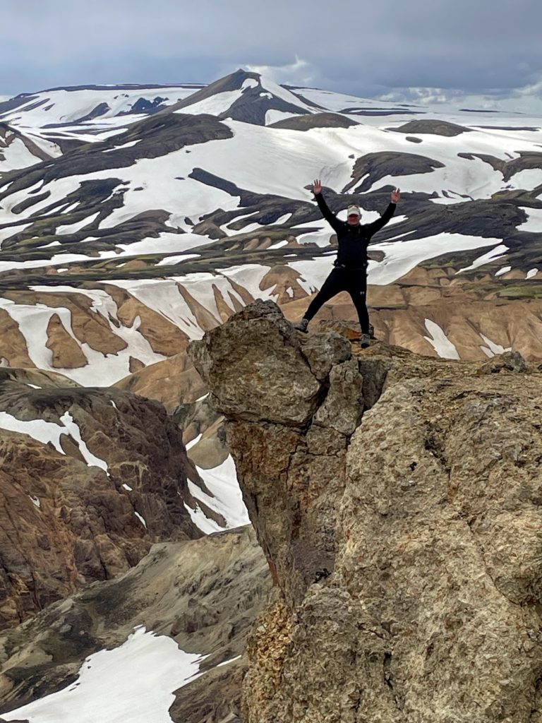
There was one more really impressive view on the way towards Landmannalaugar. That was over the ridge of Uppgönguhryggur which is near to Grænihryggur ridge. We all took turns taking pictures of our selves on the edge of cliff above hill-range where it is located.
Returning to Landmannalaugar
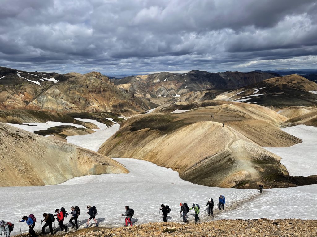
The rest of the hike was not eventful, but we had an enjoyable time on this perfect day for hiking. When we reached Mt. Skalli, we had to navigate slippery snow on its steep hill, but that was not difficult. We crossed several streams in an old river bed.
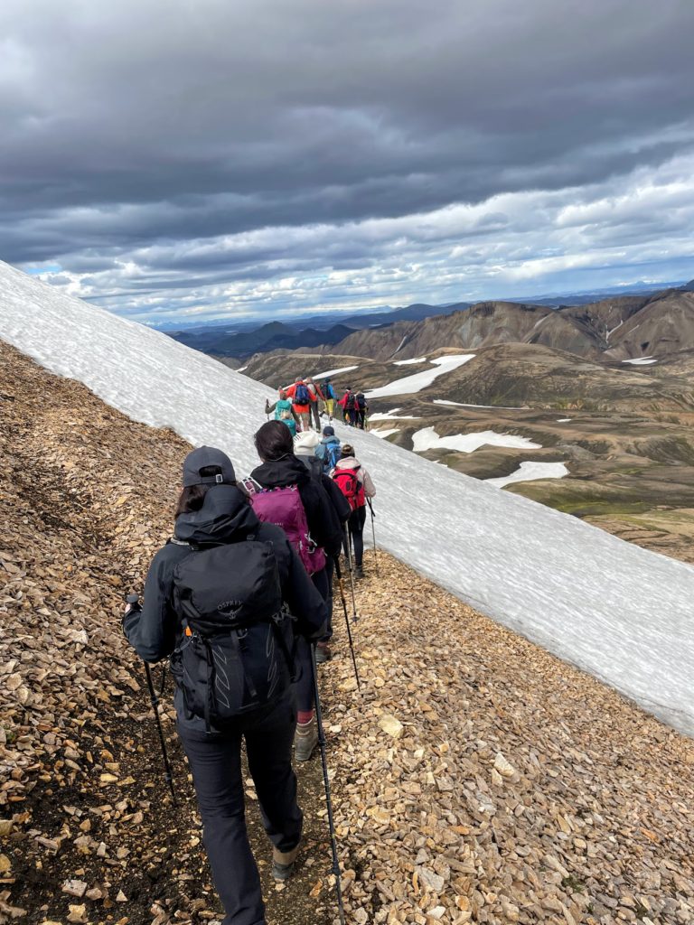
It took me some time to find a place where we could ford, but I eventually found a place where everybody could get across without (mostly) getting their feet wet.

A clean hiker is a happy hiker!
From there, it was a quick way to Landmannalaugar, and like the rest of Iceland, it has been gentrified since I was there the last time. You can now buy slightly cold beer at the Mountain Mall, which led to much merriment as you would expect—getting back to Landmannahellir after twenty kilometers hike was delightful, especially since I was able to get a shower and get rid of some very sweaty clothes.


